Plan your journey to Southbourne with this practical guide to parking, trains, buses and walking connections. Find named car parks for Southbourne Grove and the beach, links to official tariffs, important access restrictions and information about Pokesdown station. Whether you are visiting the shops, spending a day beside the sea or travelling between Southbourne, Bournemouth and Christchurch, a little planning can make getting around easier.
4th November 2026
Southbourne’s shops, beach and surrounding neighbourhoods are connected by walking routes and local buses, but choosing the right arrival point makes a difference.
Southbourne Grove and Seabourne Road are useful starting points for shopping, cafés and restaurants. Fisherman’s Walk connects the high street with the clifftop, whileWarren Edge and Solent Beach car parks serve the coast farther east.
For a visit combining shops and sea, consider parking once and walking between them. Remember that reaching the promenade from the clifftop involves a descent - and an uphill journey back.

Image: Unsplash
Woodside Road car park is a useful option for visiting Southbourne Grove’s shops, cafés and restaurants.
Postcode: BH5 2BA.
Opening: Listed as open 24 hours.
Charges: Apply 24 hours a day, seven days a week.
Payment: The council lists phone, online and app payment through RingGo.
RingGo location: 59026 for ordinary parking.
Accessible parking: Four designated disabled spaces are listed.
The council currently publishes tariffs including £1.50 for one hour, £2 for two hours and £6.40 for 24 hours. Check the live tariff before paying.
View Woodside Road’s official tariffs and parking information.
For roadside parking, check the signs beside the particular bay you use. Look for charging hours, maximum stays, permit requirements and any no-return period.
Avoid assuming that a space is unrestricted because a neighbouring street has different rules. Leave driveways, dropped kerbs, loading areas and pedestrian crossings clear.
Warren Edge is an option for a beach visit towards the eastern part of Southbourne.
Postcode: BH6 4BE.
Type: Paid long-stay parking.
Payment: Card, phone, online or app.
RingGo location: 59036.
Height restriction: 2.1 metres.
Accessible parking: Ten designated disabled spaces are listed.
Check the gate arrangements carefully: although the council’s opening-hours section says 24 hours, the same page states that the gate closes between 11.59pm and 8am. Do not assume you can enter or leave overnight.
Tariffs vary by season. Use the council page to check the price for your visit.
View Warren Edge’s official tariffs and access information.
Solent Beach car park, on Southbourne Coast Road, provides another option farther east, towards Hengistbury Head.
Postcode: BH6 4EN.
Type: Paid long-stay parking.
Published opening hours: Daily, 5am–10pm.
Height restriction: Two metres.
Payment: Card, phone, online or app.
RingGo location: 59009.
The council publishes different summer and winter tariffs. Its charging information refers to 24-hour periods, but a parking ticket does not override the published access hours.
View Solent Beach’s official tariffs and restrictions.
Check the payment location code, vehicle registration and expiry time before walking away. If you have a roof box or carry bikes on your roof, include them when checking your vehicle against a height barrier.
For beach visits, allow time to walk back uphill and reach your vehicle before any gate closes.
If you use a Blue Badge, check the conditions displayed at the particular car park rather than assuming that a designated bay means free parking.
For beach facilities and access information, read our Southbourne Beach guide.
Pokesdown station, on Christchurch Road, is a useful railway arrival point for Southbourne.
Address: Christchurch Road, Pokesdown, BH7 6DL.
Station code: POK.
Operator: South Western Railway.
Journey planning: Check that your chosen train stops at Pokesdown and review engineering works before travelling.
From the station, use the pedestrian crossings to reach Seabourne Road, which leads towards Southbourne’s shops and the Grove. You can continue towards Fisherman’s Walk for the coast, or use a local bus for part of the journey.
View Pokesdown station facilities and train information.
Pokesdown is currently listed as having no step-free access to its platforms. This matters when travelling with a wheelchair, mobility aid, pushchair or heavy luggage.
Construction has begun on new passenger lifts, but the project should not be treated as completed. Check the station’s live accessibility information before booking.
If you need a step-free journey, contact South Western Railway’s assisted travel team on 0800 5282100 to discuss suitable arrangements.
Read the official Pokesdown lift project update.
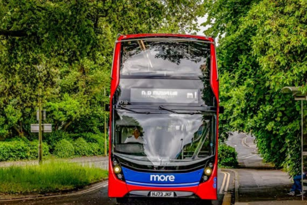
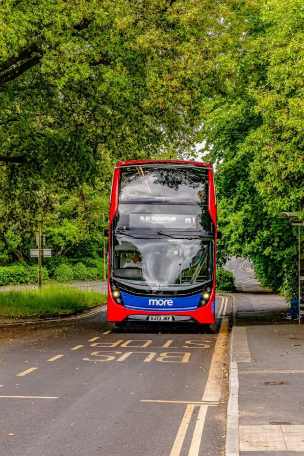
Morebus provides connections between Southbourne and neighbouring areas. Useful routes to check include:
m2: Connects Southbourne with Boscombe, Bournemouth, Westbourne, Branksome, Upper Parkstone and Poole.
1b: Connects Bournemouth and Boscombe with Southbourne, Cranleigh Road, Tuckton, Christchurch and Burton.
1c: Connects Bournemouth and Boscombe with Southbourne, Tuckton, Christchurch and Somerford, with journeys running via Mudeford or Hunt Road.
Check the destination and stopping pattern of the particular journey, especially when continuing beyond Christchurch.
Use the Morebus timetable and route directory for current services.
Fishermans Walk is a useful stop name to search when visiting the Grove or walking through the park towards the beach. Morebus lists m2, 1b and 1c departures at the south-east-bound stop.
For connections after a train journey, search Pokesdown Railway Station in the Morebus journey planner. Check the stop’s direction before boarding.
If travelling back in the evening or on a Sunday, check the return journey before setting out.
Fisherman’s Walk provides a leafy connection between the high street and the clifftop. It is a useful route for combining shopping or lunch with a coastal walk.
Allow roughly 10 - 15 minutes from the Grove entrance through the park to the clifftop, depending on your pace and stops. This is a planning estimate, not the time needed to reach the sand.
At the southern end, continue to the beach using the available access route. The zigzag involves a slope, so allow extra time for the return climb.
Read our Fisherman’s Walk guide for more about the park and coast.
The Fisherman’s Walk cliff lift connects the clifftop with the beach below. Check current operation before relying on it for your journey, particularly outside the main visitor season.
The council publishes fares online and states that payment is by card or contactless.
Check official cliff-lift information and fares.
Once on the promenade, we can walk west towards Boscombe and Bournemouth or explore east towards Southbourne’s eastern beaches and Hengistbury Head.
These destinations involve different distances, so choose a route that leaves enough time and energy for the return. A walk to Hengistbury Head also needs more planning than a short promenade stroll: routes around the headland include varied surfaces and gradients.
See our Hengistbury Head guide for arrival information and route choices.
Cycling can be useful for local journeys, but the seafront has seasonal restrictions.
On Southbourne’s promenade, cycling is not permitted between 10am and 6pm during July and August. Pedestrians have priority, and riders should dismount when conditions are busy.
BCP Council also states that cycling is not permitted on zigzag paths between the clifftop and promenade or in chines. Walk your bike along these access routes.
Read the council’s seafront cycling rules.
For shopping and eating around the Grove, start with Woodside Road parking or a bus serving the high street.
For a beach-focused visit, compare Warren Edge and Solent Beach, checking the walking route, height barrier and closing arrangements.
For a car-free day, plan around Pokesdown station or Morebus, then connect the shops and coast on foot. If step-free access is essential, resolve the station and beach-access arrangements before travelling.


 Spanish
 Chinese (simplified)
 Dutch
 French
 German
 Italian
 Norwegian
 Polish
 Romanian
 Russian